top of page

Platte River Blogs
Search

Cub Creek Energy - GIS Case study
GIS Training and GIS Services
Andy Bohnhoff
Feb 3, 20231 min read
63 views
0 comments

Bridging the Digital Divide in Ohio with GIS
With geographic information system (GIS) technology, Ohio has increased insight into its community needs.
Andy Bohnhoff
Mar 12, 20225 min read
237 views
0 comments


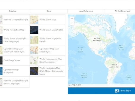
Match AGOL Basemaps to a Company Brand
Below is a quick tutorial on how I matched an AGOL basemap to the Platte River Analytics' branding guide.
Andy Bohnhoff
Jul 21, 20214 min read
133 views
0 comments


Using Elevation in Site Plans
The 3D Analyst tools in ESRI ArcGIS Pro make it easy to convert contour lines into a raster and the raster into a slope output.
Andy Bohnhoff
Dec 29, 20204 min read
122 views
0 comments


GIS Constraint Guide for Renewable Energy
Mapping available land for energy development is critical for land use planning efforts. An expanding urban sprawl and predicting future...
Andy Bohnhoff
Dec 23, 20204 min read
273 views
0 comments

Utilizing Cellular Devices to fight Covid-19
I’ve always been amazed that private companies have access to cell phone locations and data. How is it that companies can capture this...
Andy Bohnhoff
May 31, 20202 min read
18 views
0 comments
bottom of page